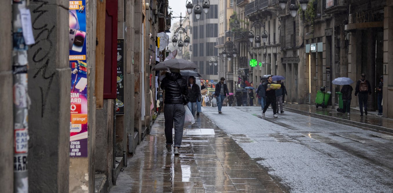
2025’s rainy spring has brought a swift end to the droughts plaguing several Spanish regions, restoring ecosystems to parched fields, reviving withered trees and shrubs, and bringing back a lush, green landscape not seen for a long time. It has also placed the country’s reservoir levels much higher the averages of the last decade.
At the same time, drought has spread across central and northern European countries that are not used to water shortages. But why have the continent’s rainfall patterns have been reversed?
Joint Research Centre/European Comission, CC BY-SA
Wet north, dry south
In general, northern Europe has more rain and, importantly, more rainy days than southern Europe. If we focus on the Atlantic coast, for example, Ireland is rainier than western Andalusia or the Algarve. This is only true in broad terms though, as even southern Spain has very rainy enclaves, such as the Sierra de Grazalema in Cádiz.
The explanation for Mediterranean Europe’s modest rainfall and long periods of drought – in contrast to the damp, green landscapes of northern Europe – lies in general atmospheric currents. In the mid and high latitudes of Europe, atmospheric circulation is characterised by prevailing westerly Atlantic, and therefore humid, winds. This is often associated with low pressure areas, which bring warm and cold fronts. These weather systems usually move from southwest to northeast, and their fronts bring frequent, moderate rainfall.
South of these prevailing westerly winds, we enter the Mediterranean latitudes, where the atmosphere is more usually marked by higher pressure. At higher altitudes of 5,500m and above, these latitudes form the northern boundary of the Subtropical High, a large belt of subtropical-tropical anticyclones that encircles the globe.
The anticyclonic belt has its axis near 30º latitude in both hemispheres. It influences the climate of the world’s largest tropical deserts, such as the Sahara and Arabian desert in the northern hemisphere, and the Great Australian Desert in the south.
The Azores High – a seemingly permanent fixture on weather maps of its namesake archipelago – is one of the links in the aforementioned belt. It acts as a barrier to Atlantic storms, meaning they do not usually reach much of the Iberian Peninsula as frequently as they do in more northerly countries. Indeed, it is typical to see a ridge or prolongation of the Azores anticyclone encompassing the Iberian Peninsula. This causes very clear, stable weather with no rain (except for perhaps a light drizzle on the northern Cantabrian coast).

Divulgameteo.es/AEMET, CC BY-SA
What happened this spring?
The normal pattern is sometimes reversed. This often means a low pressure area in south-western Europe, towards the Gulf of Cádiz, and an anticyclone in the north or centre of the continent, in the British Isles, Scandinavia and Central Europe.
This anticyclone in latitudes further north than Spain and Portugal is called a blocking anticyclone, because it prevents the circulation of the typical westerly winds. This means heavy or even torrential rainfall in south-western Europe, and dry spells in more northerly regions. This situation occurred in the spring of 2025, with very heavy rainfall in many regions of Spain and drought in northern Europe.
One question many will doubtless be asking is whether this inversion is a consequence of climate change The answer is, at least in principle, no.
In fact there are many examples of similar springs in the past such as those of 2013 and 2018. Indeed, the Spanish even have proverbs about spring’s unpredictable and rainy weather – “marzo ventoso y abril lluvioso, dejan a mayo florido y hermoso” (almost) literally translates into “March winds and April showers bring forth May flowers”.
It is true that the spring of 2025 has been exceptionally rainy in much of Spain, especially in the month of March, which saw two and a half times the normal amount of rainfall. A quarter of the observatories in the AEMET, the Spanish State Meteorological Agency, recorded the wettest March since 1961. The Retiro measuring station, in central Madrid, recorded 235.4mm in March – more than twice its annual average.
It is also no coincidence that, precisely because of their northern location on the Iberian Peninsula, some regions between Galicia and the Basque Country have been the exception, and received below-average rainfall.