|
Getting your Trinity Audio player ready...
|
This blog post was written by Tommaso Jucker, Emily Lines and Jason Fridley to recap the latest Grime Reviews series in Journal of Ecology, titled ‘What can remote sensing do for plant ecology?’. The series consists of nine review articles exploring different ways in which ecologists can enrich their research by embracing recent advances in remote sensing. The full list of review papers is available here]

Every plant ecologist has their go-to set of tools on which they have come to depend on, trust and love over the course of their careers. This toolbox will almost certainly contain things like a tape measure, a quadrat, a magnifying lens, a dichotomous key and a plant press. It may also include some more exotic items, such an increment borer, a soil corer, and maybe even a gas exchange analyser, a next generation sequencer or a mass spectrometer.
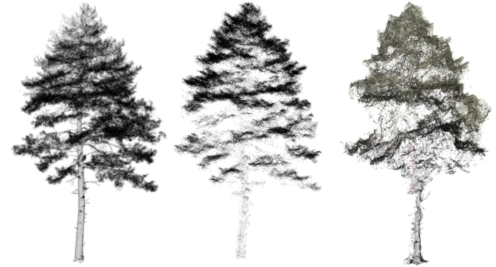
But if we go back even just a few years, one thing this toolbox would almost certainly not have included is a satellite. Or a drone mounted with a thermal sensor. Or a portable LiDAR which emits millions of laser beams per second to generate a 3D map of its surrounding environment. For a long time these have been the tools of the geographer, the engineer and the geomorphologist – not the plant ecologist.

This is all changing now, and rapidly. Access to a whole range of remote sensing technologies, data streams and processing tools has exploded over the past decade. Judging from what you see on social media, no self-respecting ecologist would be caught dead in the field without a drone these days. Many ecologists see the potential value of remote sensing to transform how they study plants, extending the resolution and scale of what is achievable using traditional tools. But many don’t have a full picture of what is possible, how to do it, and what the pitfalls and limitations of these approaches can be.
If you are a plant ecologist who is curious about how remote sensing might enhance your research, this new Grime Reviews series is for you. The collection of nine review articles covers a wide breadth of topics, questions and study systems where remote sensing is transforming the field. Everything from trait ecology, plant-plant interactions and community dynamics, to remote sensing in difficult conditions, including in remote locations and hard-to-measure lianas. The series also takes an in-depth look at some specific technologies that are changing how we monitor ecosystems, including thermal sensors, LiDAR and photograph archives, as well as our own contribution on what three-dimensional data can offer to forest ecology.
We hope you enjoy reading these articles as much as we have, and that some of you will be inspired to take the plunge into this exciting new world!

