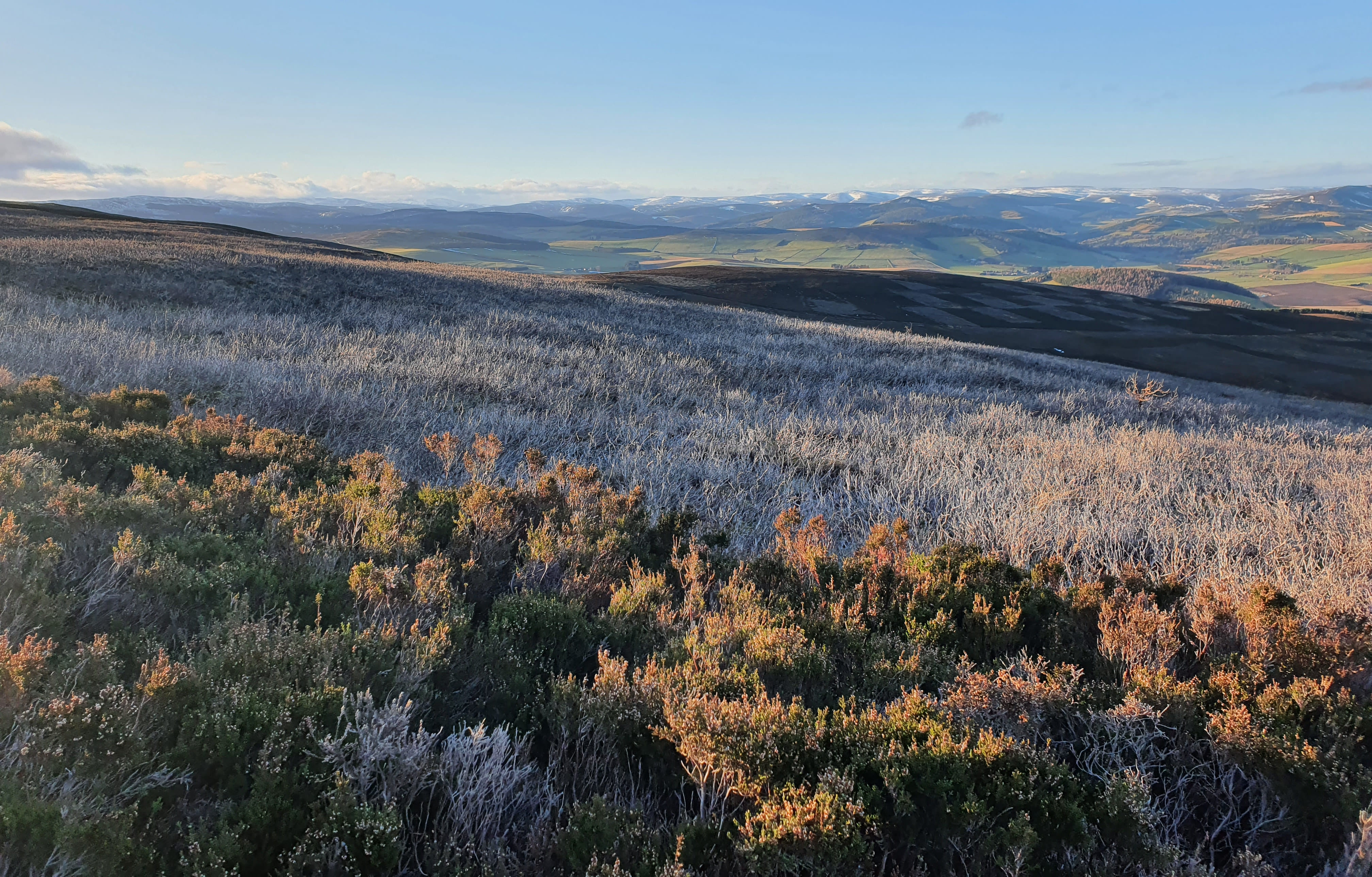
Author Benedict Spracklen used satellite imagery to better understand the impact of prescribed burning of moorland on ecosystem services.
Prescribed burning has long played a role in the management of moorland, both in Scotland and across the UK. In Eastern Scotland, moorland burning (muirburn) is carried out to remove old vegetation and encourage new growth, in the belief this will help red grouse, which are shot for game.
There has been a recent rise of interest and controversy over this practice, stemming largely from fears over potential impact of burning on the peatland soils that frequently underlie moorland vegetation. Burning may release carbon stored in the peat, degrade water quality and increase downstream flooding. Attempts to legislate on this issue have been ongoing for some time now in the Scottish Parliament.
Due to this controversy, and the widespread muirburn that occurs each year over some of the most beautiful landscapes in Scotland, we became interested in finding out if the area burnt has changed over recent years, as well as estimating the fraction of these fires that occur on deep peat soils.
While there have been previous attempts to determine area burnt, using archives of aerial photography dating from the 1940s to the 1980s, these photos are only infrequently available. Satellite imagery provides a different approach to assessing change. A collection of satellites from NASA’s Landsat program have been making roughly weekly overpasses over Scotland for the past four decades, and this 30 meter resolution imagery is freely available.
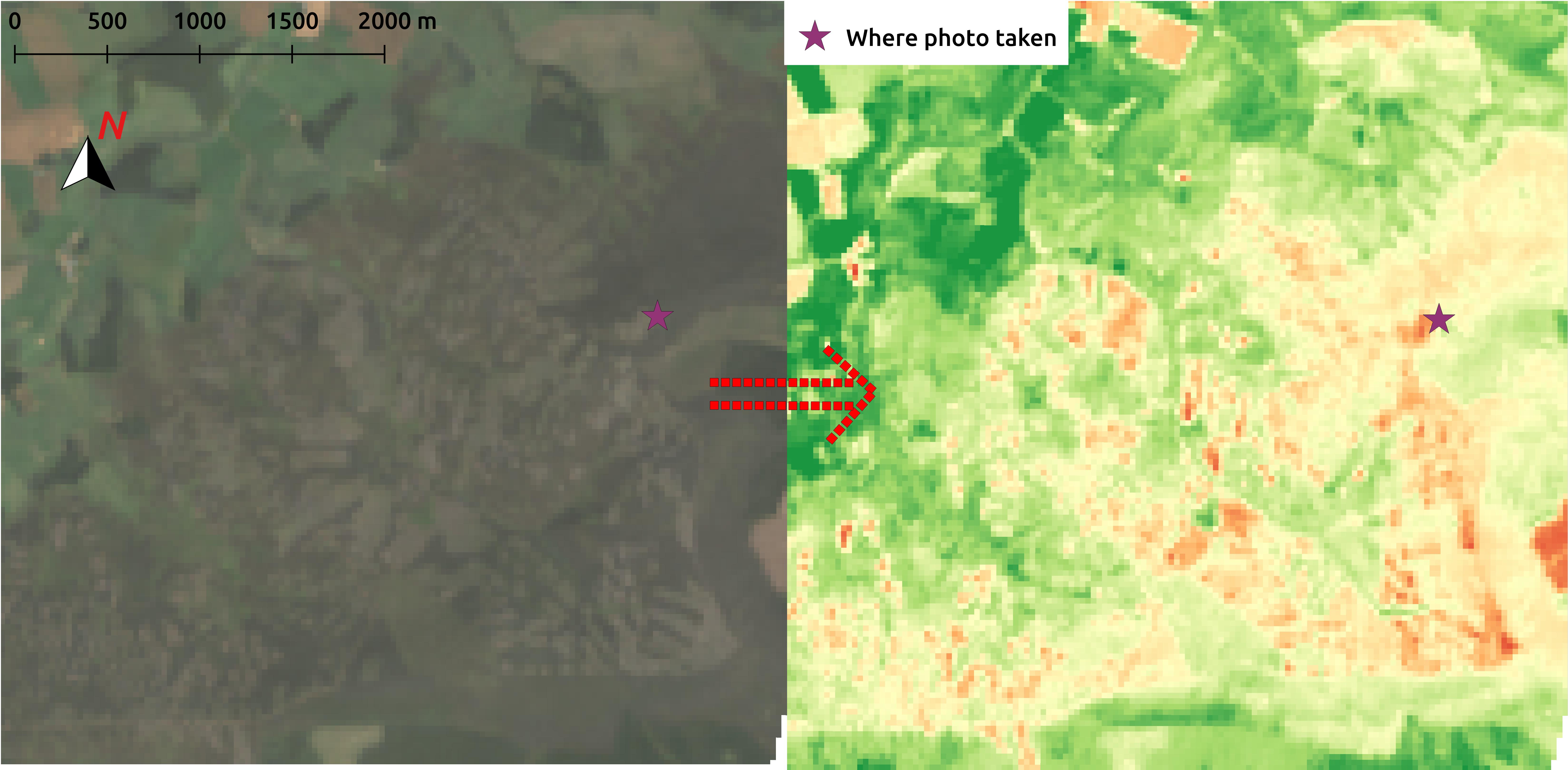
Moorland fires burn the vegetation and the resulting change in the appearance of the moorland is visible from space. We used the change in reflectance in both the near-infrared and infrared bands in satellite images to identify burnt area.
This method is in principle simple; in practice more difficult. Cloud cover is frequent over the Scottish mountains, so multiple photos from different times of the year are often needed for a complete image. Normalising the satellite imagery to account for changes in light conditions and the seasonal growth of vegetation is not always simple. Burnt areas are often small, and it can be a challenge to maximise the classification of the small burns, while minimising any attendant noise.
After overcoming these issues, we produced annual maps of burnt area for 38 years, dating from 1985-2022. We found burning is more common towards the east of Scotland, with the Lammermuir Hills of South-East Scotland a particular hotspot. Though there had been a small increase in the area burnt from 1985 to 2022, the change was not statistically significant.
We also assessed the fraction of fires that occur on deep peat soils. Scotland’s upland peat soils account for 53% of Scotland’s total soil carbon store. There is concern over how muirburn may affect the storage and sequestration of carbon in peatlands. We found that almost a third of the moorland burn area occurs on deep peat soils (defined as peat greater than 50 cm in depth based on a peat map from the James Hutton Institute).
Muirburn is currently subject to the largely voluntary Muirburn Code. The Muirburn Code was revised in 2017 to suggest that muirburn should not occur on peatland unless part of an approved habitat restoration plan. However, we found no subsequent change in burning on deep peat, suggesting that the introduction of the revised Muirburn Code has not reduced such burning.
In March 2024, the Scottish Parliament passed the Wildlife Management and Muirburn (Scotland) Bill, which will require licenses for muirburn and restrict burning on peatlands.
The quality and quantity of satellite imagery has improved markedly over the past decade, providing new opportunities to monitor muirburn extent. These freely available satellite imagery should prove invaluable in monitoring implementation of the Bill.
Read the full article: “Assessment of peatland burning in Scotland during 1985–2022 using Landsat imagery” in Ecological Solutions and Evidence.