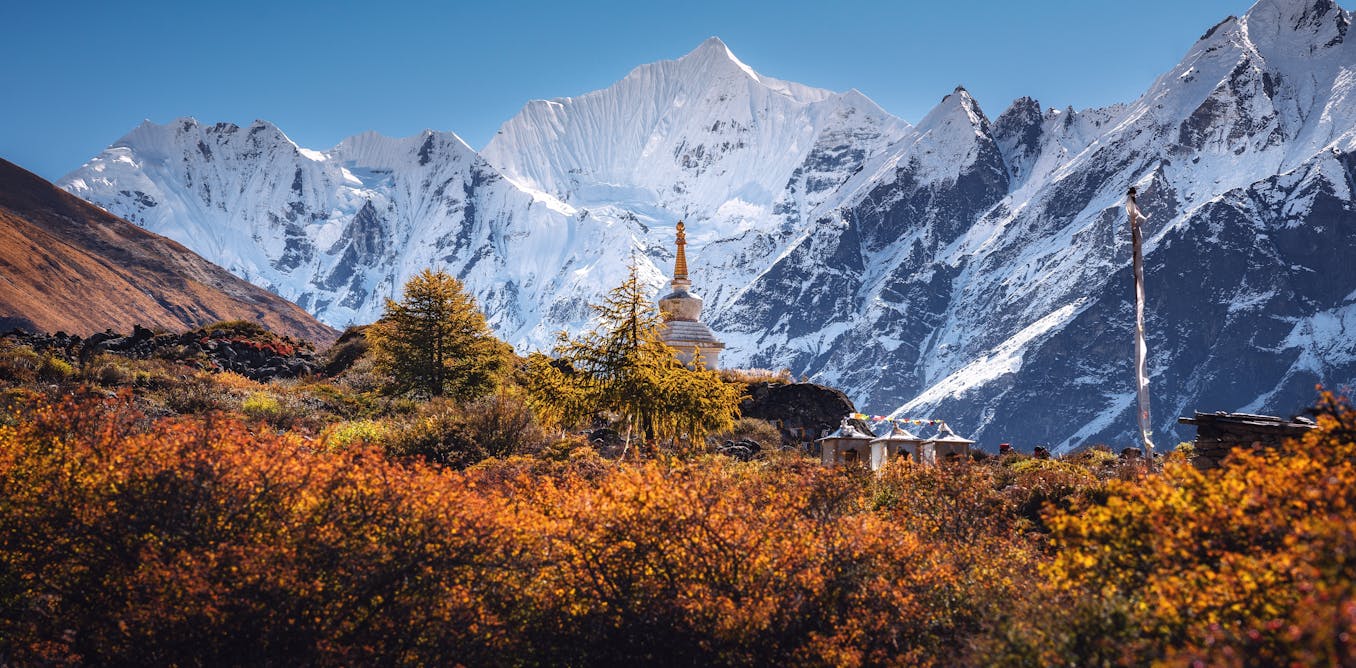
Mountain snow and meltwater from glaciers in the Himalayas determine how much water is available for drinking, farming and hydropower for millions of people in India, Pakistan, Nepal, China and Afghanistan.
This is especially important during the spring and early summer crop-growing season when meltwater helps sustain the flow of rivers and provides the region with a vital buffer against the worst impacts of a dry season or drought. Because many of these rivers cross national borders, changes in water supply can also heighten regional tensions when resources are scarce.
Meltwater from snow is one of the pillars of survival – but it’s proved difficult in the past to get accurate measurements across this challenging terrain.
So measuring where and how much snow falls is essential. My team’s new research gives improved estimates of snowfall across the west-central Himalayas. Results show that in just one winter, the previous best available snowfall analyses underestimated total seasonal snowfall by 37% over Lake Hampta area in Himachal Pradesh. By including new snowfall observations, we reduced that error dramatically.
Why snowfall predictions have been wrong
Because most instruments were originally designed to measure rain over very small areas, rather than snowfall spread across large areas, most calculations of snowfall levels have historically been inaccurate. A rain gauge around the size of a dinner plate was used in the past – too small for the purpose and therefore missing large amounts of snow. These small devices were particularly bad at catching snow during strong winds.
As a result, mountain water resources are often misunderstood and have been underestimated by 50–100% over the years.
To change this, we developed a new way to measure snowfall using commercially available water-pressure sensors deployed on the lakebeds. The team installed these instruments at three lakes – Ghepan and Hampta in the western Himalayas, and Mugu in Nepal. Unlike conventional instruments, these sense the whole lake surface – an area of thousands to billions of square metres – to measure the timing and intensity of snowfall. These use water pressure in lakes to directly measure the mass (water content) of accumulating snow, providing an accurate and unbiased estimate of snowfall. This is based on Archimedes principle of displacement: as snow accumulates on a frozen lake, it changes the water pressure beneath.
Snowfall from these devices was analysed and used to refine physical processes in a weather model. This is the same model which provides weather predictions over the UK but is customised for mountainous regions. The results show the model can generally reproduce both when the snow falls and how much accumulates, and is particularly good at representing extreme snowfall events. We now have new insights into where and when snow falls across the region at much finer detail than previous estimates, making mountain water resources more predictable. In contrast, a snowfall map based on previous analysis shows a much more uniform distribution and considerably less snowfall.
Planning for water shortages
This information could help regional communities adapt and improve water planning, help manage reservoirs and protect vulnerable infrastructure from snow-related hazards. It could also support engineering interventions such as snow harvesting in areas that receive abundant snowfall, for example, by artificially storing meltwater in community-managed reservoirs and into ice stupas (an artificial glacier) designed to gradually release water during the growing season.
An understanding of when snow falls will be crucial for predicting when it will melt and how much water will flow into rivers and help communities and policymakers better prepare for future water shortages.
The Himalayan ice fields are important because they are the largest permanent ice-cover outside of the polar regions and contain some of the largest reservoirs of freshwater on earth.
With this region starting to see more water shortages it’s time to start reassessing reliance on mountain water supplies. But how much water the mountains provide, and how it will change, remain remarkably uncertain.
Good measurements of snowfall are now more important than ever for predicting the future of water resources, which until now have been lacking. For example, a single long-running active weather station above 4,000 metres has provided one of the few continuous snowfall records across the vast 566,000 square kilometres of Himalayan headwaters that feed the Brahmaputra, Indus and Ganges river basins.
This work is also deeply personal for me. I grew up in a city just 50 kilometres from the outer Himalayas. On family holidays, I was captivated by thriving beauty of pines and junipers against the backdrop of the Himalayas, while learning that mountains and rivers are more than just landscapes. Those experiences fostered a lasting connection to the region, and I continue to return to the mountains whenever I can.
Water is a precious commodity upon which every society depends, and shortages can cause untold misery.
With better snowfall estimates, we are already beginning to understand and make future of the mountain eco-system more predictable, and help people cope.

Siddharth Gumber receives funding from the National Environmental Research Council (NERC), The Big Thaw project (NE/X005267/1).