In the clear turquoise waters off Limassol, Cyprus, divers are monitoring the condition of seagrass to assess the health of the local coastal ecosystem. Their work is part of a wider effort to understand how Europe’s shores are changing and how best to protect them.
“The majority of the world’s population lives close to the coast, including in and around many major cities,” said Dr Apostolos Papakonstantinou, assistant professor of cartography and geoinformatics at the Cyprus University of Technology (CUT).
Papakonstantinou coordinates COASTLINE, an EU-funded initiative running from January 2024 until the end of 2027. Researchers in Cyprus, Greece and Italy are combining satellite imagery, including images from the EU’s Copernicus Earth observation programme, with drone imagery, field measurements and AI.
They use this combined approach to monitor coastal erosion, water quality and cultural heritage, including ancient ruins. The aim is to build a clearer picture of what is happening along the coast, from changes at individual sites to longer term shifts across entire stretches of shoreline.
The findings could matter well beyond the study areas. Around 40% of the EU’s population lives within 50 km of the sea, and coastal regions generate almost 40% of its GDP.
“Any changes taking place in coastal zones are particularly important when making decisions about where people should live and what infrastructure is needed, for example to prevent flooding,” Papakonstantinou said.
Mapping coastal change
Understanding how a coastline changes means looking at it from different angles and over a time period.
The COASTLINE team has split its work into four themes: mapping and monitoring cultural heritage; tracking environmental change on land and the seabed; working out where the risks are greatest; and building an online platform to show the results and track changes across locations and over time.
“
Any changes taking place in coastal zones are particularly important when making decisions about where people should live and what infrastructure is needed.
To monitor coastal changes in the three countries, the researchers study individual sites and wider stretches of coast. They draw on sensors, AI, satellite and drone data, alongside expertise and samples from divers such as those working off Limassol.
The researchers look at both short-term changes along the coast and the natural processes that reshape the land over longer periods, sometimes centuries, explained Pietromarco Santoro, an associate researcher at CUT.
“Our technology can combine these two aspects and use them to imagine what the future of coastal areas might look like. Even a small change can create quite a lot of environmental, social and economic problems,” said Santoro.
The team is also developing ways to get more useful information from satellite observations. “With satellite data, we’re also trying to develop new applications, algorithms and ways of combining data to produce better results,” Papakonstantinou said.
The divers’ samples, combined with drone and satellite data, may help reveal changes in the seagrass that signal a possible pollution problem, prompting local authorities to investigate.
From ancient ruins to shifting shores
The research covers five coastal areas: Limassol and Paphos in Cyprus; Elounda on Crete and Eresos on Lesvos in Greece; and Margherita di Savoia, a seaside town in Italy’s Puglia region. Each presents different challenges, from protecting archaeological sites to understanding why beaches are eroding.
In Cyprus, the team is using public data to assess risks to archaeological sites, many of them along the coast. Once the data is integrated into the web platform, the researchers hope it could help authorities identify where planned developments might harm nearby ruins, or where protection against flooding or landslides may be needed.
Along the Eresos coast, drones play a central role in monitoring coastal change. Equipped with high-accuracy sensors, they fly repeatedly over the same stretch of coast to track changes in the shoreline and beach over time, capturing fine detail that satellite images miss.
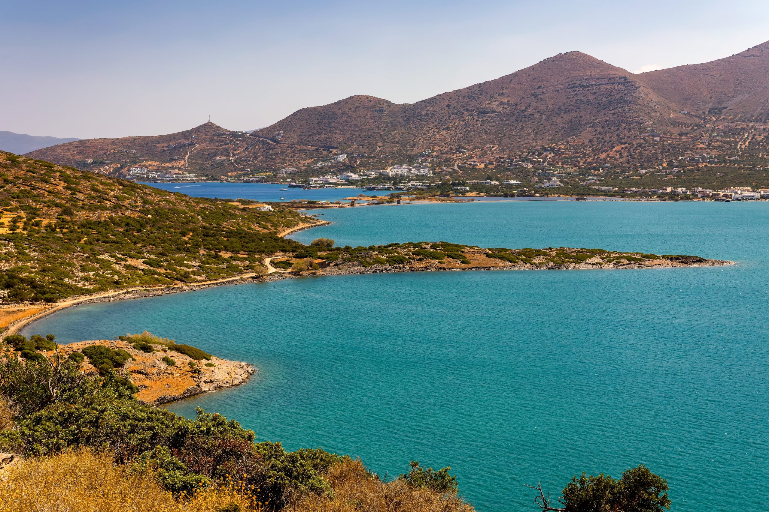
Around Elounda Bay, researchers are examining the coastal environment alongside its cultural heritage. The monitoring process brings together information about water depths and seabed types, providing a more detailed picture of the area.
In Margherita di Savoia, the focus is on how natural processes and human activity have reshaped the shoreline. Harbour structures built and extended over past decades have altered the movement of sand along the coast. Sand accumulates to the south of the harbour, while the beach to the north is eroding.
The problem is compounded by a reduction in the sand carried to the coast by the Ofanto River. Rivers transport sediment towards the sea, where waves redistribute it along the shoreline. When less sand arrives, beaches have less material to replace what is washed away.
“Our main purpose is to understand the impact of how human interventions influence coastal processes and provide evidence to support coastal management decisions,” said Alessandra Capolupo, an associate professor specialising in mapping and remote sensing at the Polytechnic University of Bari, Italy.
By comparing observations from different sources and time periods, researchers can document changes to the shoreline and investigate how these relate to coastal infrastructure and other pressures.
“
Our main purpose is to understand the impact of how human interventions influence coastal processes.
“Understanding the effects of past interventions helps us make better-informed choices about how to manage the coast and plan future actions,” Capolupo said.
The international collaboration also allows researchers to share methods and experience across disciplines and countries. Santoro, who studied in Bari before moving to Cyprus, said working together helps them recognise common coastal challenges, even when countries approach them differently.
Turning maps into decisions
Collecting data is only part of the challenge. The information also needs to be accessible and useful to the people responsible for managing coastal areas.
The researchers are developing an online platform featuring maps and 3D visualisations, drawing on consultations with residents, businesses and public authorities in the study areas. Participants were asked what information they needed and how maps could help them make decisions.
“Interpreting geospatial data is part of our everyday work as scientists. Our challenge is to make this information understandable and useful to people with different backgrounds and needs,” said Capolupo.
By bringing relevant information together in one place, the platform aims to help public authorities assess coastal risks, compare protection options and evaluate development proposals.
The online platform is already available, presenting preliminary results, as the team continues to develop it. The longer term ambition is for tools like this to help heritage and planning authorities anticipate problems and plan protection or repairs before damage occurs.
Back in the waters off Cyprus, every sample helps paint a clearer picture of Europe’s coasts, giving decision-makers better information to protect them.
Research in this article was funded by the EU’s Horizon Programme. The views of the interviewees don’t necessarily reflect those of the European Commission. If you liked this article, please consider sharing it on social media.
This article was originally published on https://projects.research-and-innovation.ec.europa.eu/en/horizon-magazine/ancient-ruins-vanishing-beaches-mapping-risks-europes-shores. It is shared here under a Creative Commons license.