El Niño is a recurring climate event with impacts across the globe. It has three phases: one cold (known as La Niña), one neutral, and one warm (El Niño).
In 2026, spring in the northern hemisphere took place in a neutral phase, which followed a relatively mild La Niña. Short-term forecast models indicate that by mid-year it is very likely that we will enter an El Niño phase. This El Niño could become very intense towards the end of the year, with talk of a “super-El Niño”. But what effects might it have? And has something similar happened in the past?
NOAA
An anomalous Pacific current
This occasional anomalous warm ocean current in the Pacific was originally noted by 19th-century Peruvian fishermen. They called it El Niño – “the child” in Spanish – because it often arrived around Christmas time.
It occurred when warm waters from the equatorial Pacific replaced the usual cold waters off the coasts of Ecuador (south of the city of Guayaquil), Peru and northern Chile. These waters are normally quite cold due to the Humboldt Current – which flows from south to north along this sections of South America’s coastline – and due to the upwelling of deep cold waters.
The impact of these currents is significant. Take, for instance, the Chilean city of Antofagasta on the Pacific coast, and Rio de Janeiro on the Atlantic coast. They are at almost exactly the same latitude, the Tropic of Capricorn, but their average sea temperatures are very different: around 18°C in Antofagasta and 24°C in Rio de Janeiro.
For Peruvian fishermen, the arrival of the warmer El Niño current meant the disappearance of their most abundant and prized fish, the anchoveta, which thrives in cold, plankton-rich waters.
An ocean and atmospheric phenomenon
In the 1920s, British physicist and climatologist Gilbert Walker made a surprising discovery. While analysing vast amounts of atmospheric pressure data, he realised that when pressure increased in the South American Pacific, it decreased in northern Australia and Indonesia, and vice versa. In other words, these two regions of the planet, thousands of kilometres apart, were connected in terms of atmospheric pressure behaviour. This is what we now call a teleconnection, a long-distance meteorological link.
This coordinated oscillation in atmospheric pressure across the South Pacific was named the Southern Oscillation. But what does El Niño, an ocean current, have to do with the Southern Oscillation, an atmospheric phenomenon?
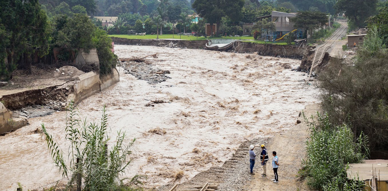
As well as having a negative impact on the Peruvian fishing industry, El Niño brings rainfall – sometimes torrential – to the arid regions of Peru and northern Chile, home to the world’s driest desert, the Atacama. In 1957-1958, a very intense El Niño caused torrential rainfall in Peru and other countries, and a severe drought in India and Southeast Asia, spurring further research into the phenomenon.
Read more:
Climate change: how fires and floods are creating uninsurable areas across Europe
In the 1960s, Norwegian-American meteorologist Jacob Bjerknes found that the warming of the South American Pacific caused by El Niño was linked to the Southern Oscillation, thereby establishing a close connection between the ocean and the atmosphere.
When the South Pacific tropical anticyclone – with its associated trade wind pattern that blows from South America towards Australia and Indonesia – weakens, the waters of the equatorial Pacific warm and begin to shift towards Central America. There they branch off, mainly southwards, along the coasts of parts of Ecuador, Peru and Chile. This is how El Niño is generated.
Bjerknes demonstrated that the atmosphere and the ocean are closely linked, and that what happens in one part of the climate system has an impact elsewhere. Combining the names of the oceanic and atmospheric components gave rise to the El Niño’s official name: El Niño-Southern Oscillation (often abbreviated to ENSO).

NOAA
The worst El Niño of the 20th century
In 1982–83, the most intense El Niño of the 20th century caused extreme weather events throughout the world, including floods in the American Pacific and in the southern United States, and droughts in north-eastern Brazil and Indonesia. It also caused a very mild winter in the mid-latitudes of Europe, Asia and North America.
From that point onward it was observed that, from time to time, temperatures in the equatorial Pacific also showed a negative anomaly, meaning they were lower than normal. At the same time, the South Pacific high-pressure system strengthened, along with the trade winds. This situation was the opposite of El Niño and was named La Niña.
In short, El Niño brings warm waters and instability, while La Niña brings colder waters than normal and greater stability to Ecuador, Chile and Peru. These phenomena form recurring cycles, though not over fixed periods of time.
The last intense El Niño of the 20th century occurred in 1997–98, causing severe flooding in California. It received widespread media coverage, as the disasters occurred in the US.

NOAA
How might the next intense El Niño behave?
A super-El Niño would undoubtedly lead, if not in 2026 then certainly in 2027, to a higher global average temperature – a few tenths of a degree above what would be expected given the current rate of global warming. There would also be heavy rainfall in the aforementioned Andean countries, the Argentinian area of Mar del Plata, East Africa, and parts of the southern United States, with severe droughts in Southeast Asia, parts of Australia and northeastern Brazil.
In the Mediterranean basin, the El Niño-La Niña cycle is weaker, largely due to the region’s unique geographical characteristics. However, during a very strong El Niño event it can expect higher than normal temperatures, and perhaps a greater likelihood of extreme rainfall.
In any case, what once appeared to be a phenomenon confined to Peruvian fishing grounds is now known to be a global interaction between the atmosphere and the ocean, with repercussions that can be catastrophic in regions far removed from its source.