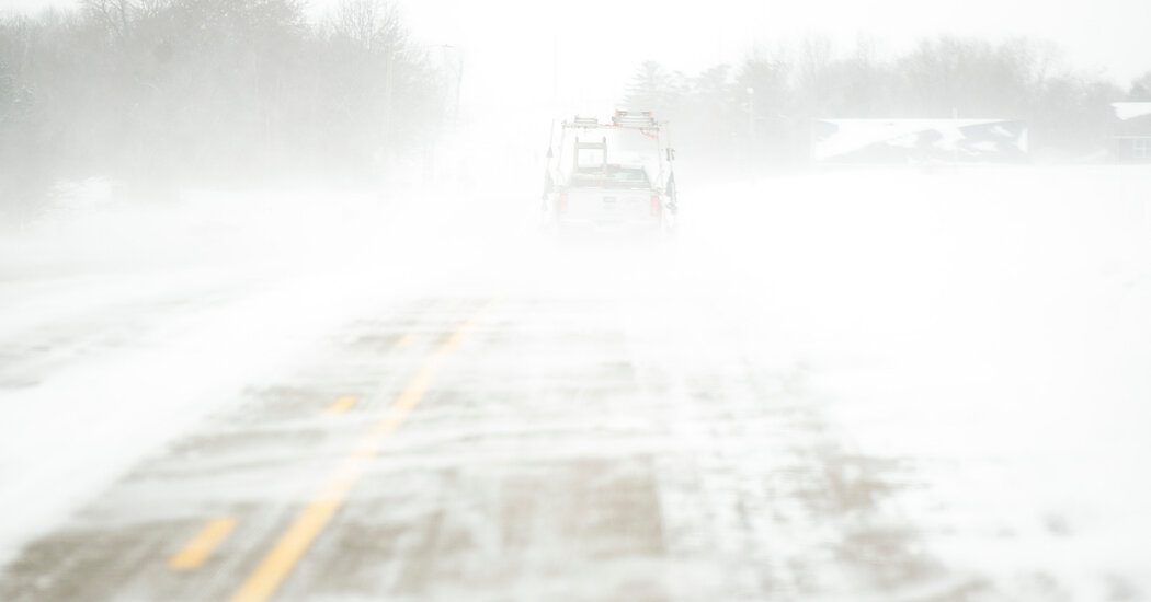
The storm pummeling large swaths of the United States and Canada is what forecasters call a “bomb cyclone.” While this kind of storm is not exceedingly rare, this one is very strong, with high winds that are bringing heavy snow or rain to many areas.
Storms can form when a mass of low-pressure air meets a high-pressure mass. The air flows from high pressure to low, creating winds. What defines a bomb cyclone is how rapidly the pressure drops in the low-pressure mass — by at least 24 millibars in 24 hours. This quickly increases the pressure difference, or gradient, between the two air masses, making the winds stronger. This process of rapid intensification has a name: bombogenesis.
As the winds blow, the rotation of the earth creates a cyclonic effect. The direction is counterclockwise in the Northern Hemisphere (when viewed from above).
John Moore, a meteorologist and spokesman for the National Weather Service, said conditions for a bomb cyclone had been met over the Great Lakes, where frigid Arctic air from the meandering polar vortex met very warm air to the east.
Air pressure dropped to at least 862 millibars, while elsewhere it was as high as 1047 millibars. “It’s a really sharp gradient,” he said.
As the area where the two air masses meet, called the Arctic front, moves northward and eastward, conditions for bombogenesis should continue moving as well, Mr. Moore said.
But as the Arctic air spreads over most of the country it will eventually warm, reducing the pressure difference. The storm will dissipate. And forecasts call for above-average temperatures across most of the country next week, he said.


