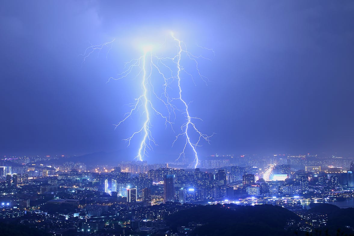
On December 1, 2024, severe thunderstorms impacted southern Brazil, Argentina, and Uruguay, leaving significant damage in their wake. The storm system, which formed off the coast of Uruguay, brought high winds, torrential rain, and large hail, particularly affecting Brazil’s Rio Grande do Sul state. The region experienced power outages affecting over 3 million people and widespread destruction.
The Path of the Storm
A cyclone that developed along the coast of Uruguay on December 1 triggered a line of powerful thunderstorms moving into northern Argentina and southern Brazil. The storm system hit the Brazilian state of Rio Grande do Sul at around 19:00 LT, producing damaging winds exceeding 100 km/h (62 mph). By 21:30 LT, the storm had reached the area south of Porto Alegre, Brazil’s fourth-largest city. Within hours, high winds and heavy rainfall intensified as the storm approached the region’s capital, Porto Alegre, around 23:00 LT.
At the height of the storm, wind gusts in Porto Alegre reached over 80 km/h (50 mph), and the storm caused extensive damage, leaving around 800,000 electricity customers without power — affecting approximately 3 million people. The storm continued until about 01:00 LT on December 2, with widespread rain still impacting parts of the region.
Destruction and Casualties
The destructive winds caused serious damage in various locations, including the collapse of the events pavilion at Atiilio Pasa Park in Arroio do Tigre, a town in Rio Grande do Sul’s central-mountain region. At least 25 people were injured as a result. The northern region of Rio Grande do Sul, including Carazinho, also saw significant damage from gale-force winds. Furthermore, reports of medium-to-large hailstorms and flooding emerged, with substantial damage to electrical infrastructure and local roads, particularly in rural areas such as Dom Pedrito.
In Argentina, the National Meteorological Service (SMN) issued the highest weather alerts for provinces near Rio Grande do Sul, warning of strong winds and potential tornadoes. In Santa Fe, Argentina, winds reached speeds exceeding 100 km/h (62 mph), and a possible tornado was reported in the town of Cayastá.
Uruguay’s Vulnerability
Uruguay’s northern departments, especially those bordering Brazil, were also affected. The country’s meteorological service, INUMET, issued a red alert for the region. Wind gusts reaching 104 km/h (65 mph) were recorded at Artigas Airport, with damage to infrastructure and power lines being reported across the country’s interior.
Response and Recovery
Authorities across the affected countries, including Brazil, Argentina, and Uruguay, have been working to assess the extent of the damage and restore power to affected areas. Emergency services in Brazil have been particularly focused on areas hardest-hit by flooding and structural collapses. In Rio Grande do Sul, power restoration efforts are ongoing, with regional utility companies prioritizing repairs to critical infrastructure.
A Global Challenge: The Growing Threat of Extreme Weather
The storm in southern Brazil is part of a broader pattern of increasingly severe weather events around the world. Climate change is contributing to the intensification of storms, extreme rainfall, and the frequency of extreme weather patterns. As storms like this one become more common, it highlights the need for enhanced preparedness and resilience in infrastructure, particularly in vulnerable regions.
For countries facing similar weather-related risks, it’s crucial to invest in improved weather forecasting, early warning systems, and emergency response strategies. In regions like southern Brazil, Uruguay, and Argentina, lessons from this storm can help local authorities better prepare for future extreme weather events, ensuring a quicker recovery and minimizing potential damage.


